Tungurahua
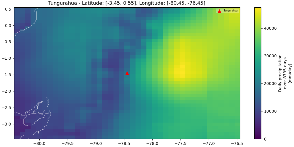
Map
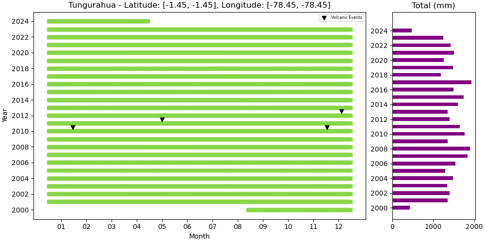
Annual
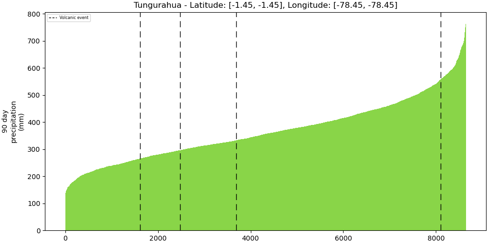
Strength
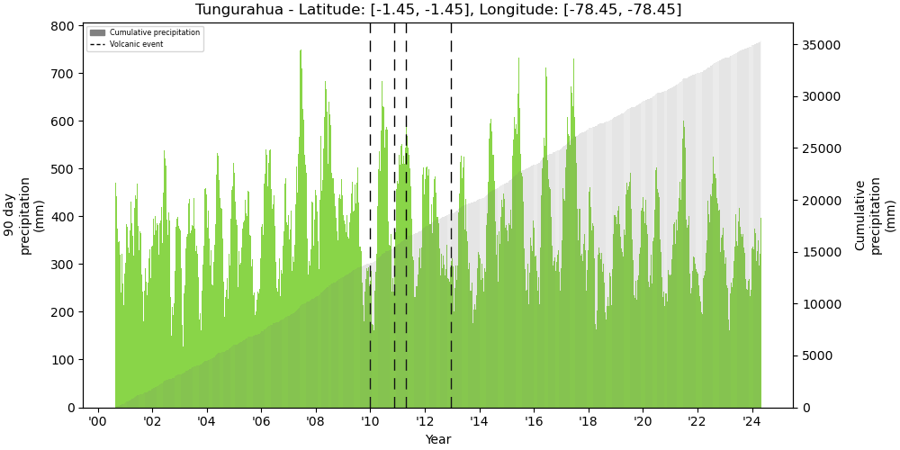
Bar
Metadata
| ID | 352080 |
|---|---|
| Name | Tungurahua |
| Country | Ecuador |
| Type | Stratovolcano |
| Activity Evidence | Eruption Observed |
| Last Known Eruption | 2016 CE |
| Region | South America |
| Subregion | Ecuador |
| Latitude | -1.467 |
| Longitude | -78.442 |
| Elevation (m) | 5023 |
| Dominant Rock Type | Andesite / Basaltic Andesite |
| Tectonic Setting | Subduction zone / Continental crust (>25 km) |
| Precipitation | MONTHLY |