Mauna Loa
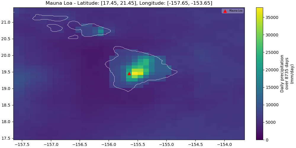
Map
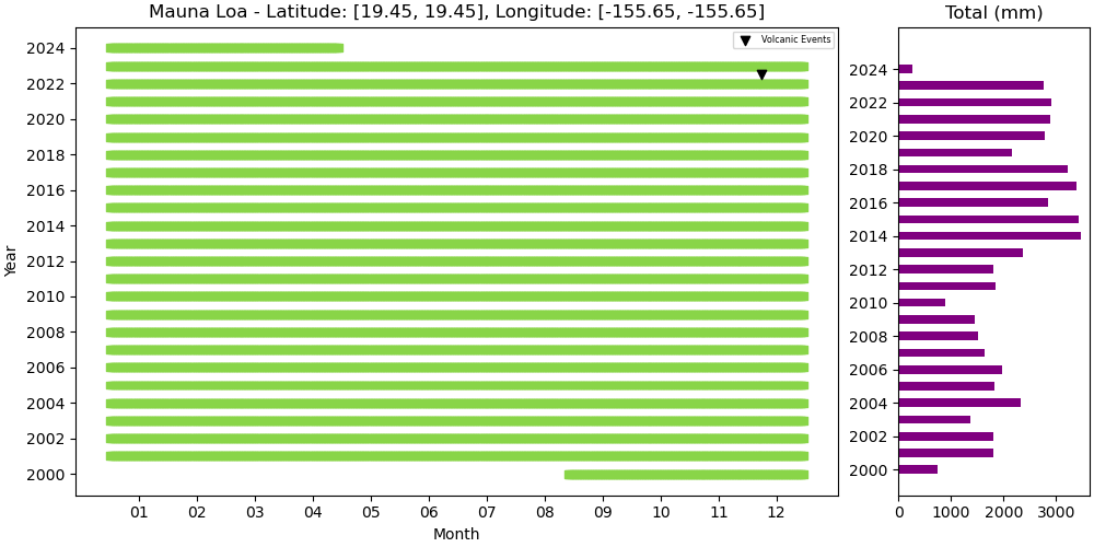
Annual
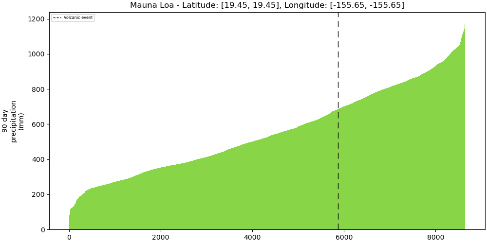
Strength
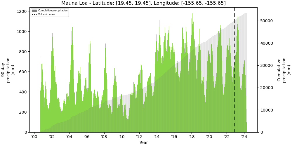
Bar
Metadata
| ID | 332020 |
|---|---|
| Name | Mauna Loa |
| Country | United States |
| Type | Shield |
| Activity Evidence | Eruption Observed |
| Last Known Eruption | 2022 CE |
| Region | Hawaii and Pacific Ocean |
| Subregion | Hawaiian Islands |
| Latitude | 19.475 |
| Longitude | -155.608 |
| Elevation (m) | 4170 |
| Dominant Rock Type | Basalt / Picro-Basalt |
| Tectonic Setting | Intraplate / Oceanic crust (< 15 km) |
| Precipitation | WEEKLY |